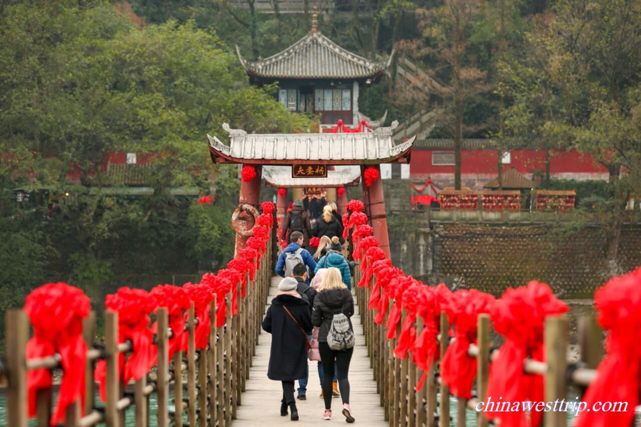
Annan Bridge Dujiangyan

Name in Chinese: 都江堰 Dū Jiāng Yàn [du: dʒæŋ jæ]
Duration of Tour: Half a day
Must-see Sightseeing Spots: the Fish-mouth Dividing Dam, the Bottle-neck Channel and the Flying-sand Fence
Reputations: A World Cultural Heritage Site, A National Five-star Scenic Area, A State-level Key Historical and Cultural Relic Site under Protection
The ancient water conservancy project Dujiangyan is located in the northwest of Chengdu, around 60 km(37 miles) away from downtown Chengdu. As a feat of engineering and a wonder of the world, Dujiangyan Irrigation Project was added to the list of world cultural heritage in 2001. It was built by the end of the Warring States Period between 256B.C. and 251B.C., initiated by Li Bing, the top governor of Sichuan Prefecture. Sichuan is nicknamed as the Land of Abundance. Before the irrigation project was completed, the west part of Chengdu plain was prone to floods, while people in the east part of Chengdu plain were threatened with starvation as a result of drought and poor harvests. Lin Bing led his people to build up Dujiangyan Irrigation Project. It diverts water from the west to the east. The initiator harnessed water with the principle of hydraulic engineering. The water project irrigates 6,678 square kilometers(2,578 sq.mi) of farmland and supplies more than 50 cities in the plain with water resource. Yu Qiuyu, a famous scholar in China once claimed that Dujiangyan Irrigation Project made a great impact on Chinese history, even more great than the Great Wall. The Great Wall has lost its defending function for centuries, while the water conservancy project still benefits millions of people. Dujiangyan Irrigation Project completely transformed the land of Sichuan. It would not have become the land of abundance without the completion of the project.
The whole project consists of two parts, including the irrigation net covering the whole Chengdu plain and the head work. The core project is the head work. It contains the Fish-mouth Dividing Dam, the Bottle-neck Channel and the Flying-sand Fence. The project also shows the core idea of Taoism, the native religion of China. Tao is a natural law operating all the changes happening in the universe. It is just like water. Water always flows downwards, never struggles against dams. The project works to divert water effectively to the east by utilizing the natural motion of water.
The Fish-mouth Dividing Dam
The Fish-mouth Dividing Dam is called Yuzhui in Chinese. It functions to divide Mingjiang River course into two canals, the Inner Canal and the Outer Canal. The dam is built in the shape of fish, and the water current is just conducted into the two canals at the “fish-mouth”. It is designed to control the volume of water current in both the two canals. In dry seasons, 60% of water flows into the irrigation net through the Inner Canal, while the left runs along the Outer Canal. In rainy seasons, 40% of water is carried by the Inner Canal, the left rushes into the Outer Canal. Before Li Bing launched his project, a hill block the the water in the Minjiang River. It is the reason why the land of Sichuan was prone to floods in the rainy seasons and draught in dry seasons. The initiator, Li Bing was determined to cut a spillway through the hill so that the water could be discharged into the farmlands in the east part of Chengdu plain. On the other hand, the water carries 20% of the sand and gravel into the Inner Canal, while it brings 80% into the Outer Canal.
The Bottle-neck Channel
The Bottle-neck Channel is called Baopingkou in Chinese. It has two functions. The first function is diverting water into the irrigation net from the Inner Canal. The second is to work with the Flying-sand Fence to limit the amount of water discharging from the Inner Canal into the irrigating net which covers the whole Chengdu Plain. How does it work? The opening of the channel is made in the shape of funnel. Particularly in the raining seasons, when the water current reaches the opening, the excessive water flows back and brim over the Flying-sand Fence, and be conducted into the Outer Canal through a spillway. Why is the channel named as bottle-neck? The farming land covered by the irrigation net is in the shape of a bottle, and the channel is just located at the neck of the bottle.
The Flying-sand Fence
The Flying-sand Fence is called Feishayan in Chinese. It functions to control the flow in the Inner Canal and discharge the excess into the Outer Canal. In the dry season, the fence does not work much. When floods occur, the water current rushes forward along the Inner Canal. As it approaches the Bottle-neck Channel, the excessive water current is turned round fast, and soon many whirlpools are formed. Sand and pebbles are swept and thrown into the Outer Canal by those whirlpools. It is how the initiator designed to prevent the channel from being silted up. During the flood season, the spillway behind the fence transports the 80% of the sediments into the Outer Canal, and at the same time the excessive water flows over the fence, runs into the Outer Canal.
In ancient time, there was no cement in use. Instead, people used huge bamboo cages and wooden tripods to build up the fence. The bamboo cages were filled with stones and pebbles. They tied up and placed the tripods into the water, then piled up heavy bamboo cages on the tripods so that the tripods could stand in the water stably. Bamboo mats were set in front of the tripods, leaning on the tripods. Finally, bags of sand were thrown in front of the man-made weir to fill the spaces among the bamboo cages and the tripods. However, a reinforced concrete weir has replaced the ancient weir at present.
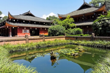
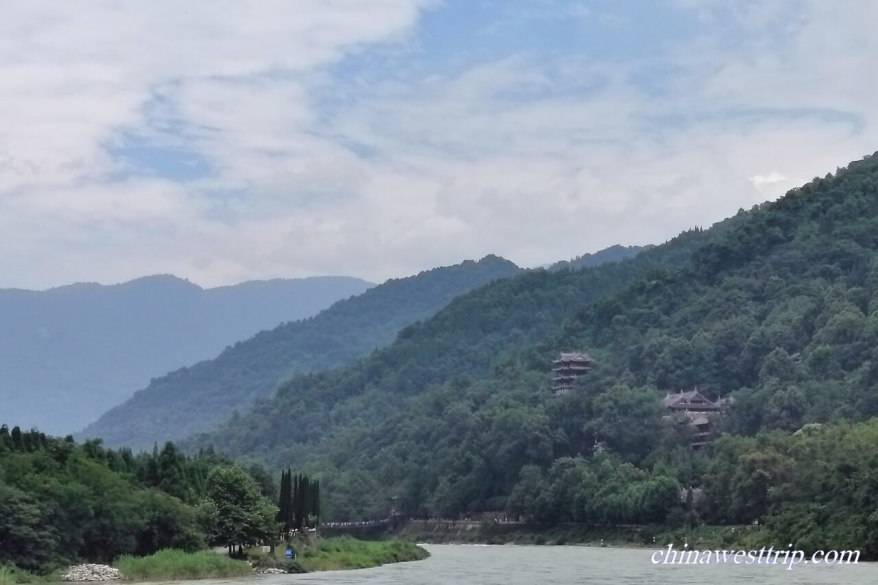
The Two Kings’ Temple(Erwang Temple)
The Two Kings’ Temple was built to commemorate the initiator of the project, Li Bing and his son. It was originally called Wangdi Temple, constructed in memory of Du Yu, a king of the Ancient Shu State. After people relocated Wangdi Temple in Pidu District during the Southern and Northern Dynasties Period around 1,500 years ago, the site was turned as a temple worshiping Li Bing and his son. In ancient China, anyone made a great contribution to the country and people, after they passed away, they would be immortalized by both government and people. Li Bing was granted with the title as the King of Sichuan. The Two-kings refers to Li Bing and his son. It is a Taoist temple situated on the mountain side.
Photography Tips:
Qinyan Tower is the best place for photographers to get a panoramic view of the whole scenic area. On March 21st , 1958, the late leader of China, Chairman Mao once stood there for a long time, overlooking the project.
How to get to Dujiangyan Irrigation Project
It takes about one and a half hours to get to the project by a car or a coach.
Opening Hours
8:00 a.m. to 6:00 p.m. in summer
8:00 a.m. to 5:00 p.m. in winter
Recommended Tour:
One-day Taoism and the Ancient Water Conservancy Project Exploring Tour
Related Articles:
Mount Qingcheng
Author: Tina Luo
Update:
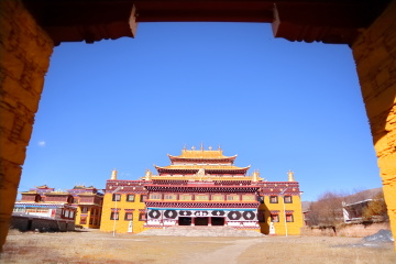
Annan Bridge Dujiangyan
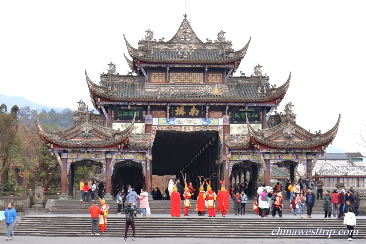
Nanqiao Bridge Dujiangyan
Erwang Temple Dujiangyan
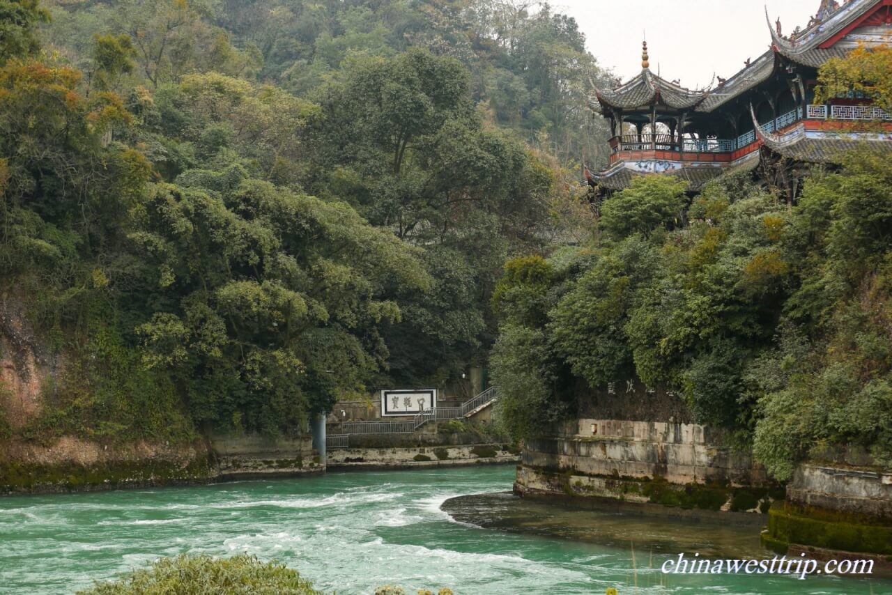
the Bottle-neck Channel Dujiangyan
the Inner Canal Dujiangyan